Walking routes
Oliwa walks with maps
Three walks that start at the Oliwa tram terminus: through the park and the cathedral, up Pachołek Hill to the Water Forge, and along the stream to the sea. Each one has a map, notes on every stop and a GPX file for your phone.
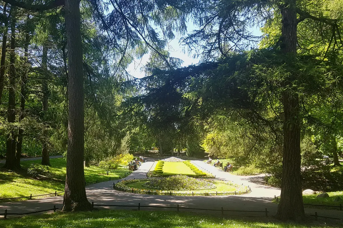
Photo: gdanskoliwa.pl Old Oliwa in two hours
A loop through the park, the cathedral and the old market street: Palm House, Whispering Grotto, Abbots' Palace and the organ recital. Flat, about 3 km.
Map and route notes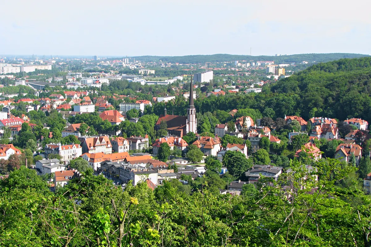
Photo: gdanskoliwa.pl Pachołek Hill and the Water Forge
A viewing tower above the cathedral, then the wooded Valley of Joy to a water-powered forge first recorded in 1597. About 3.8 km one way, with steps and a climb.
Map and route notes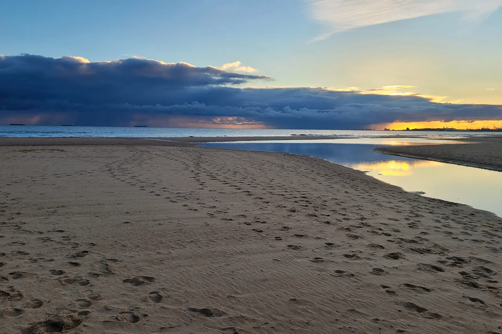
Photo: gdanskoliwa.pl Along the Oliwa Stream to the sea
From the Oliwa tram terminus along the stream and Pomorska Street to Jelitkowo beach, where the stream meets the bay. About 4 km on the flat, tram 6 back.
Map and route notes